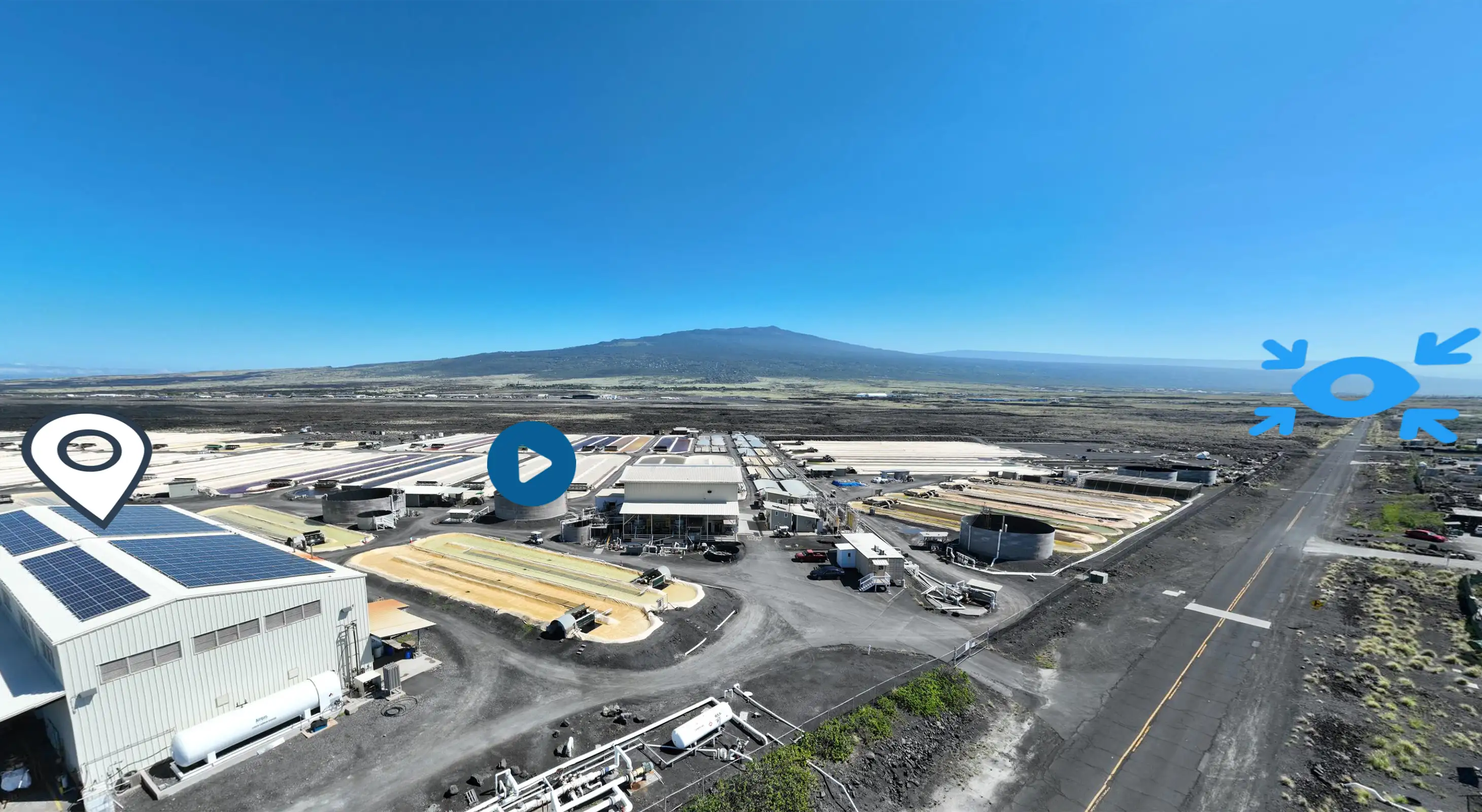
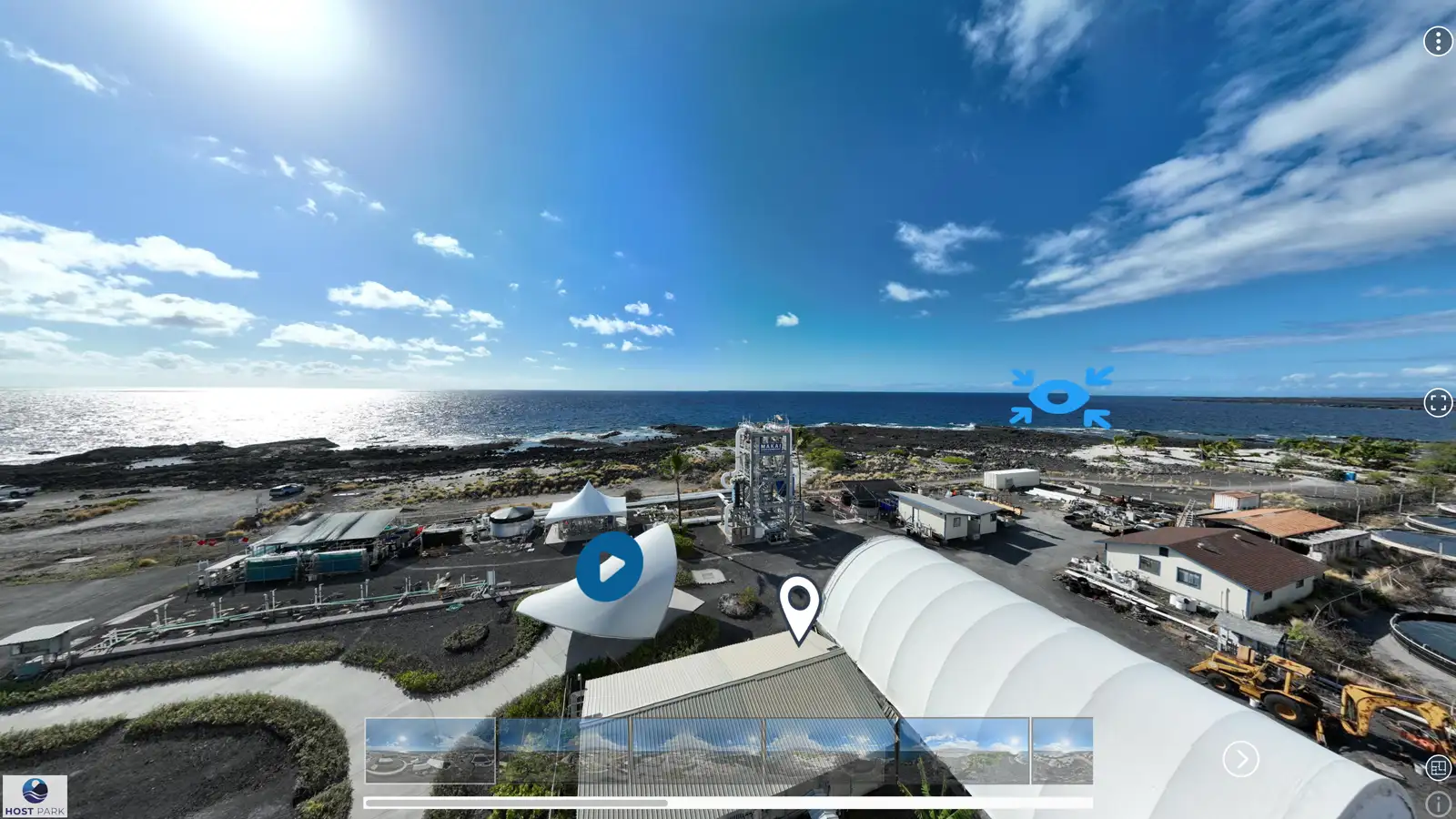
An immersive 360° virtual tour of the HOST Park campus, stitched from high-resolution panoramas and hosted on Momento360. Visitors can explore the facilities, infrastructure, and coastal environment remotely.
HOST Park needed a way to show potential tenants and partners what the campus actually looks like without requiring them to fly to the Big Island. The park spans 900 acres with diverse facilities, from wet labs to deep seawater pipelines, and the environment itself is a key selling point.
I worked with Andrew Hara on capturing high-resolution 360° panoramas using drone photography. We coordinated on capture locations to ensure comprehensive campus coverage, including research facilities, aquaculture operations, infrastructure access points, and scenic coastal views. The DJI drone handled the stitching automatically, which streamlined the workflow and ensured consistent quality across all panoramas.
Each panorama was optimized for web delivery and uploaded to Momento360, which handles the hosting and interactive navigation. The virtual tour was embedded into the hostpark.io website, giving visitors an on-demand way to explore the park's layout, scale, and unique location. It complements the tenant success stories and maps by providing a first-person perspective of what it's actually like to work there.
The tour continues to serve as a key outreach tool for NELHA, helping attract interest from researchers, entrepreneurs, and investors who want to understand the campus before scheduling a site visit.
One of the first challenges was researching platforms that could deliver a rich, interactive virtual tour experience. We needed the ability to embed links, videos, images, and detailed information about NELHA facilities and HOST Park tenants, all within an interface that NELHA staff could manage after the project closed. Momento360 offered the right balance of functionality, ease of use, and embedding flexibility.
Production involved working with drone photography captured by Andrew Hara. Due to HOST Park's proximity to Ellison Onizuka Kona International Airport at Keāhole, we were limited to a maximum altitude of 50 feet. I coordinated with Andrew on capture locations to maximize park coverage while staying within FAA restrictions. Some areas of the park couldn't be documented because they encroached too far into controlled airspace.
Photo optimization was critical to ensure fast load times and clean display within Momento360's limited hotspot boxes. Every image on the tour was cropped and optimized for smooth performance across devices. I designed custom hotspot icons and created a custom illustrated map to allow visitors to jump between views easily. Backlinks to the main site and embedded Success Story videos were integrated into key tour locations to deepen engagement.
Sample panoramas and embedded tour views showing the interactive campus experience.